About the product
We provide mapping services for our clients looking to collect and systematize location related data. From data capture, acquisition, processing, analysis, final output and management we are able to provide competitive and up to-date GIS & mapping services
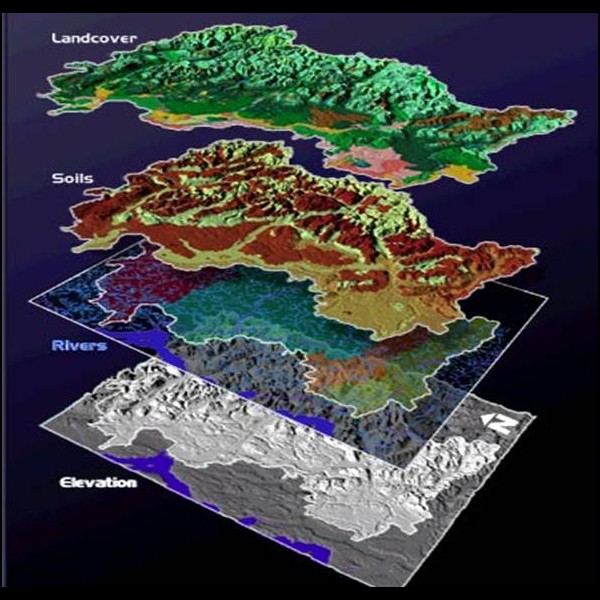
We are also engaged in providing Remote Sensing Service to our clients. These Remote Sensing Service is an art & science that helps in measuring the earth and acquiring the information about various earth objects using sensors on the satellites or air-borne methods.
We are also engaged in providing Remote Sensing Service to our clients. These Remote Sensing Service is an art & science that helps in measuring the earth and acquiring the information about various earth objects using sensors on the satellites or air-borne methods.
Price
Ask for a quote
Contact with supplier
Company