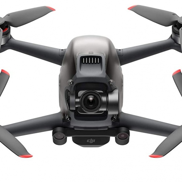
About the product
At Orbital Africa, we're at forefront in employing latest drone/UAV technology incorporating SenseFly hardware (drones) and Pix4D software products. Below is a simple workflow of Drone Images/Big Data processing. At Orbital Africa, we also offer Training on Drone/UAV/UAS Mapping encompassing flight planning, flying the drone, data download and processing using software such as Pix4D, Agisoft, Drone Deploy etc.
Price
20,000
Contact with supplier
Company
